Tsunami Risk Warning Issued in New Zealand
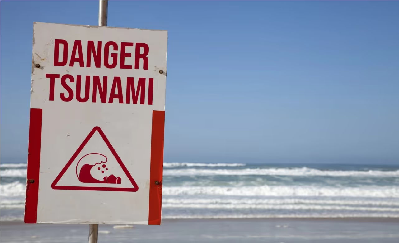
Why New Zealand Is One of the World's Most Earthquake-Prone Countries
One of the primary reasons for the frequent occurrence of earthquakes in New Zealand is its unique geographical location. The country lies on the Pacific Ring of Fire, also known as the Pacific Belt of Fire, which is one of the most seismically active regions on Earth.
Nearly 90% of the world's earthquakes occur along the Pacific Ring of Fire, making countries such as New Zealand, Japan, Indonesia, Chile, and parts of the United States particularly vulnerable to earthquakes and volcanic eruptions.
The Ring of Fire stretches over 40,000 kilometres around the Pacific Ocean and consists of numerous tectonic plate boundaries. These tectonic plates constantly move against one another, generating enormous pressure beneath the Earth's surface. When this pressure is suddenly released, earthquakes occur.
Because New Zealand sits on the boundary between the Pacific Plate and the Australian Plate, seismic activity is common throughout the country.
Understanding the Pacific Ring of Fire
The Pacific Ring of Fire is not an actual ring made of fire but a horseshoe-shaped zone where tectonic plates frequently collide, slide past one another, or move apart.
Some of the countries located within this region include:
New Zealand
Japan
Indonesia
Philippines
Papua New Guinea
Chile
Mexico
United States (Alaska and the West Coast)
Canada
The region contains:
More than 450 active volcanoes
Thousands of earthquakes every year
Some of the strongest earthquakes ever recorded
Scientists continuously monitor seismic activity across this region to provide early warnings whenever possible.
What Causes a Tsunami After an Earthquake?
A tsunami is a series of powerful ocean waves generated by a sudden displacement of seawater.
This usually happens due to:
Undersea earthquakes
Volcanic eruptions
Submarine landslides
Rare meteor impacts
When the ocean floor suddenly shifts during an earthquake, enormous volumes of water are displaced, creating waves that travel across the ocean at speeds of up to 800 kilometres per hour.
Although these waves may appear small in deep water, they become much taller and more destructive as they approach coastlines.
That is why authorities act quickly whenever a significant offshore earthquake occurs.
Authorities Continue Monitoring Coastal Areas
Following the earthquake, emergency agencies began closely monitoring sea-level changes and seismic data.
Officials urged residents not to assume the danger had passed immediately after the earthquake.
Instead, they stressed that tsunami waves may continue arriving for several hours after the initial event.
Emergency officials reminded coastal residents that:
The first wave may not be the largest.
Several waves can arrive over an extended period.
Sea conditions can remain dangerous even if waves appear small.
People should wait for an official all-clear before returning home.
Continuous monitoring remains essential until scientists confirm there is no further tsunami threat.
Preparedness Is a Key Part of New Zealand's Disaster Strategy
New Zealand has developed one of the world's most advanced earthquake and tsunami preparedness systems.
Because earthquakes occur frequently, residents are educated from an early age about emergency response procedures.
Public awareness campaigns encourage people to:
Know evacuation routes
Prepare emergency survival kits
Store drinking water and food
Keep flashlights and radios ready
Develop family emergency plans
Follow official government alerts
Schools, workplaces, and communities regularly conduct earthquake and tsunami evacuation drills.
This high level of preparedness helps reduce casualties during natural disasters.
How Earthquake Monitoring Agencies Respond
Several scientific organisations immediately analysed Thursday's earthquake.
These included:
United States Geological Survey (USGS)
German Research Centre for Geosciences (GFZ)
New Zealand's National Emergency Management Agency (NEMA)
These organisations monitor:
Earthquake magnitude
Depth
Epicentre location
Aftershock activity
Potential tsunami generation
Their findings help governments decide whether evacuation orders are necessary.
Potential Economic Impact
Although the earthquake's immediate impact appeared limited, seismic events can significantly affect local economies.
Possible consequences include:
Temporary business closures
Damage to roads and bridges
Disruption to tourism
Shipping delays
Fishing industry interruptions
Infrastructure inspections
New Zealand's tourism industry, particularly coastal destinations, may experience temporary disruptions until authorities declare affected areas safe.
Importance of Following Official Instructions
Emergency officials repeatedly stressed that public safety depends on immediate action.
Residents were advised not to wait for visual confirmation of tsunami waves before evacuating.
Instead, authorities recommend following the principle:
"If an earthquake is long or strong, get gone."
This simple message encourages people to move to higher ground immediately after experiencing a significant coastal earthquake, even before receiving official alerts.
Such rapid action can save lives.
Role of Technology in Disaster Warnings
Modern technology has significantly improved disaster management.
Authorities now rely on:
Seismic monitoring stations
Ocean buoys
Satellite communications
Mobile emergency alerts
Weather monitoring systems
Geological sensors
These technologies provide faster warnings and help emergency responders coordinate evacuations more effectively.
Climate and Coastal Challenges
Although tsunamis are caused by geological events rather than weather, New Zealand's long coastline makes preparedness especially important.
Thousands of people live near beaches and coastal communities.
As a result:
Rapid evacuation planning is essential.
Emergency shelters must remain accessible.
Transportation routes require regular assessment.
Public education remains a priority.
International Scientific Cooperation
Earthquake monitoring is an international effort.
Countries frequently share seismic data through global scientific networks.
In this incident:
USGS provided earthquake measurements.
GFZ independently analysed seismic activity.
New Zealand authorities used multiple data sources to assess tsunami risk.
International cooperation allows governments to issue faster and more accurate warnings.
What Residents Should Do During a Tsunami Warning
Emergency experts recommend several safety measures:
Move immediately to higher ground.
Avoid beaches, rivers, and harbours.
Do not stop to watch tsunami waves.
Follow evacuation routes.
Carry emergency supplies if possible.
Listen to official emergency broadcasts.
Wait until authorities declare the area safe before returning.
Following these recommendations significantly improves survival chances.
Global Reminder of Nature's Power
Although Thursday's earthquake was moderate compared with some historic events, it serves as another reminder that countries located along the Pacific Ring of Fire remain vulnerable to sudden natural disasters.
Even relatively moderate earthquakes can trigger precautionary tsunami warnings when they occur beneath or near the ocean.
Preparedness, scientific monitoring, and public cooperation remain the most effective ways to reduce disaster risks.
Conclusion
New Zealand's tsunami warning following the magnitude 5.9 earthquake highlights the country's constant need for earthquake preparedness and rapid emergency response. Authorities acted swiftly by urging residents along the South Island's west coast to move immediately to higher ground after the earthquake struck.
The earthquake occurred at a depth of more than 50 kilometres, according to the United States Geological Survey (USGS) and the German Research Centre for Geosciences (GFZ). While officials continued to monitor sea conditions, the warning reflected New Zealand's precautionary approach to protecting lives.
Situated on the Pacific Ring of Fire, New Zealand experiences frequent earthquakes due to the interaction of the Pacific and Australian tectonic plates. This geological reality makes continuous monitoring, public awareness, and emergency preparedness essential.
As scientific agencies continue assessing seismic activity and coastal conditions, residents are urged to follow official instructions, remain informed through government updates, and avoid unnecessary travel to coastal areas until authorities confirm that the tsunami risk has passed.
Frequently Asked Questions (FAQs)
1. Why did New Zealand issue a tsunami warning?
The warning was issued after a magnitude 5.9 earthquake struck off the west coast of the South Island, raising concerns about possible tsunami waves.
2. Where did the earthquake occur?
The earthquake occurred off the west coast of New Zealand's South Island at a depth of more than 50 kilometres.
3. Why is New Zealand prone to earthquakes?
New Zealand lies on the Pacific Ring of Fire, where the Pacific and Australian tectonic plates meet, making it one of the world's most seismically active regions.
4. What should residents do during a tsunami warning?
Residents should immediately move to higher ground, stay away from beaches and coastal areas, and follow official emergency instructions.
5. Which agencies monitored the earthquake?
The earthquake was monitored by New Zealand's National Emergency Management Agency (NEMA), the United States Geological Survey (USGS), and the German Research Centre for Geosciences (GFZ).
6. Can a 5.9-magnitude earthquake cause a tsunami?
Yes. Depending on its location, depth, and movement of the seabed, a magnitude 5.9 earthquake can generate tsunami waves or prompt precautionary tsunami warnings.
Tags:
Related Posts